Stiperstones
Today I did hike 3 as it promised better views than 1 or 2. It was advertised as 10.5 miles but may have been more. Ascent 1,500 feet. Description:
"A longer route, taking in Mitchell’s Fold Bronze Age Stone Circle before crossing Stapeley Hill, Mucklewick Hill and passing by Nipstone rock to reach the geologically significant Stiperstones ridge. We also traverse the rugged quartzite ridge and its iconic outcrops before descending steeply to the village of Stiperstones."
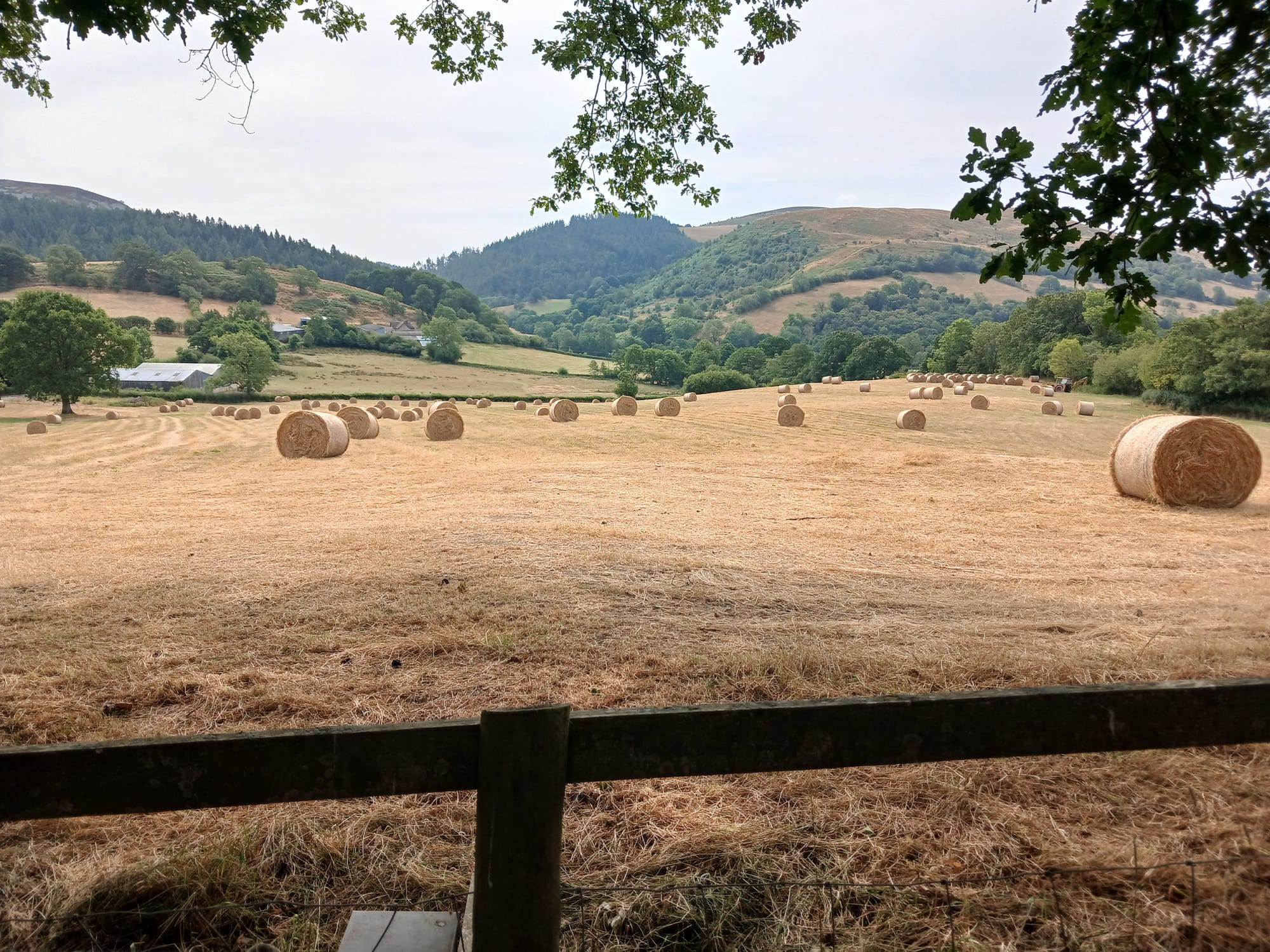
I learned a bit about the difference between the stacks of rectangular bales, the round ones above and the round ones wrapped in plastic. The latter have an acid added to them, which breaks down the stalks, producing silage, a rich animal feed. The non-wrapped bales are either feed hay or bedding straw.
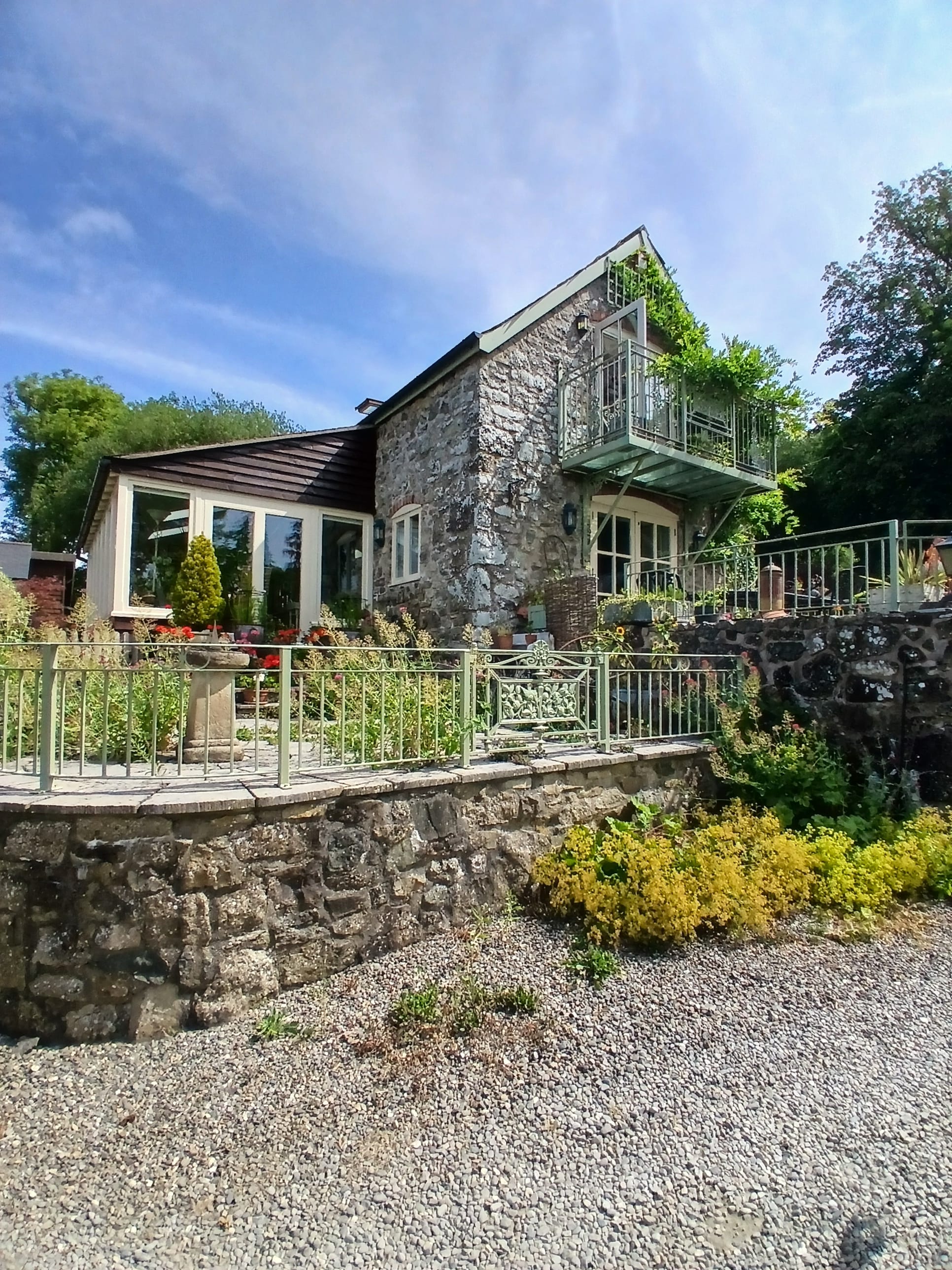
I was struck by this house because it is so remote – difficult to get to, and maybe the more lovely for it.
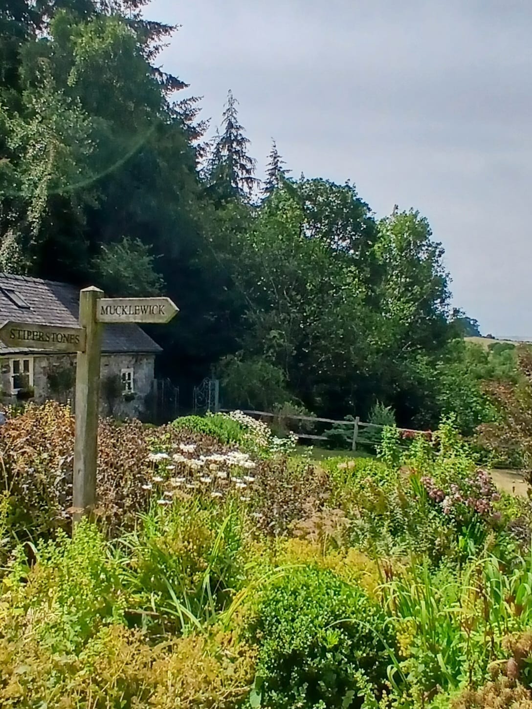
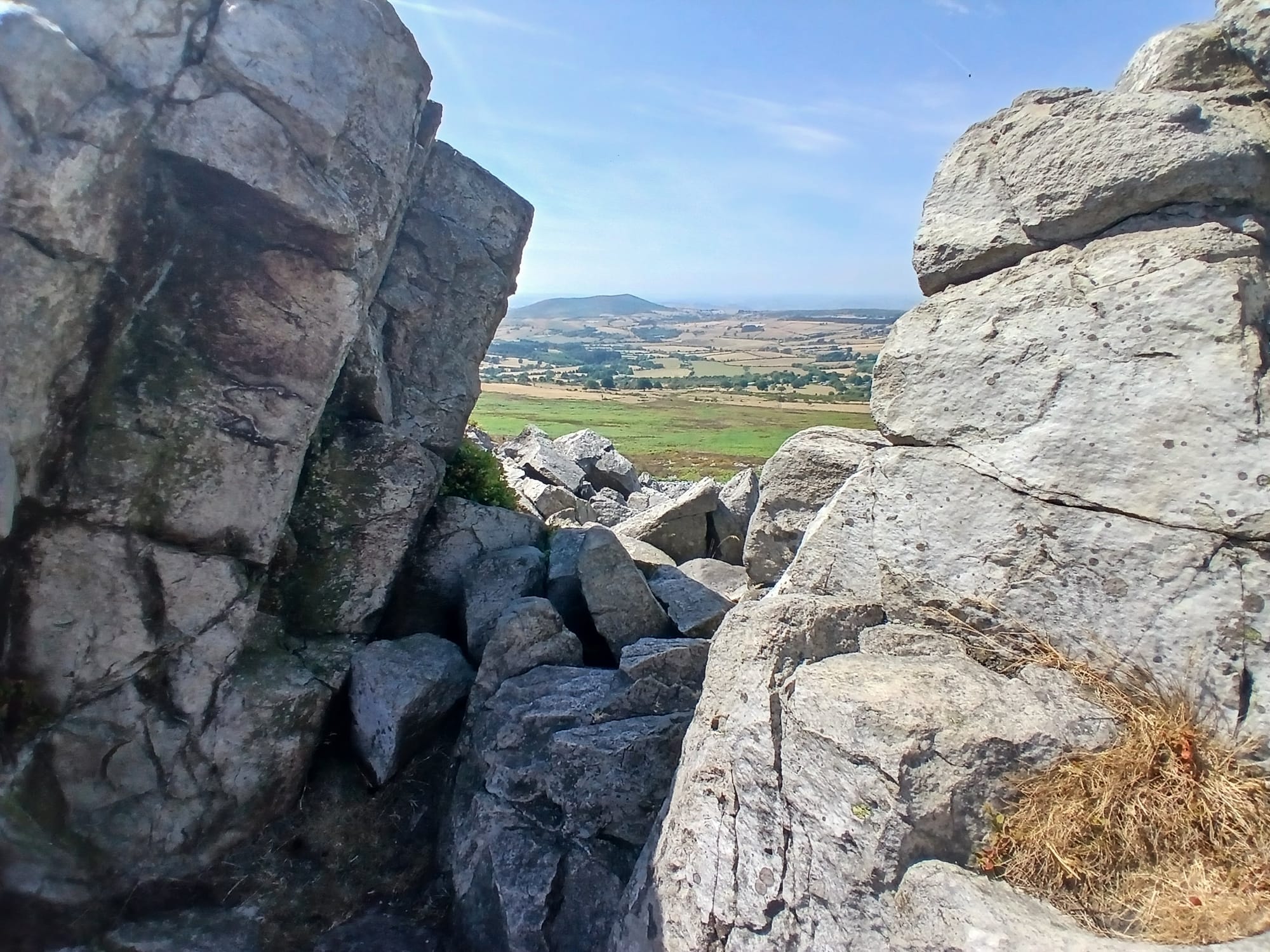
The sign is difficult to read but offers Mucklewick or Stiperstones. We climbed for a while toward the Stiperstones ridge and were happy to stop for lunch at Nipstone rocks.
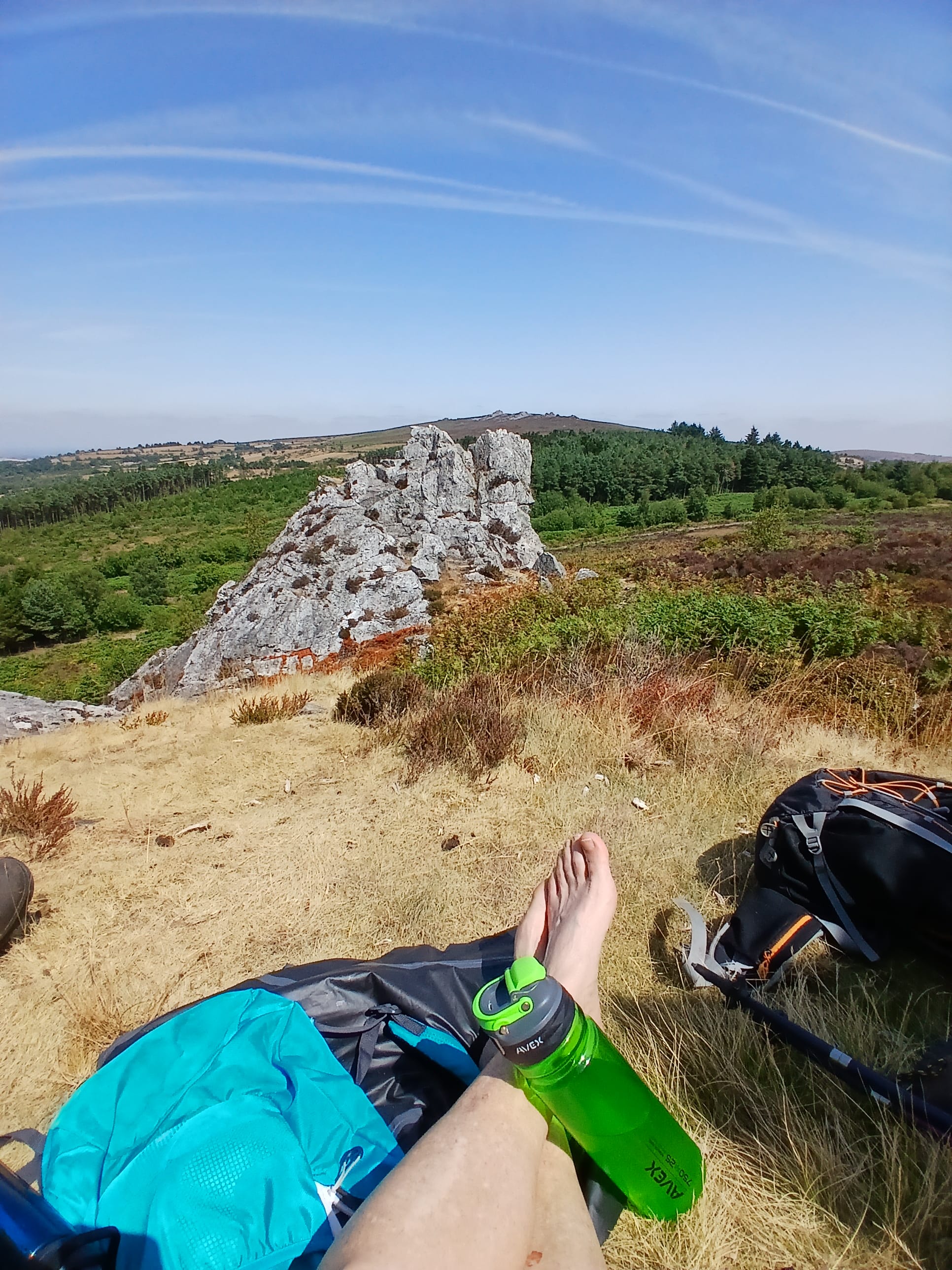
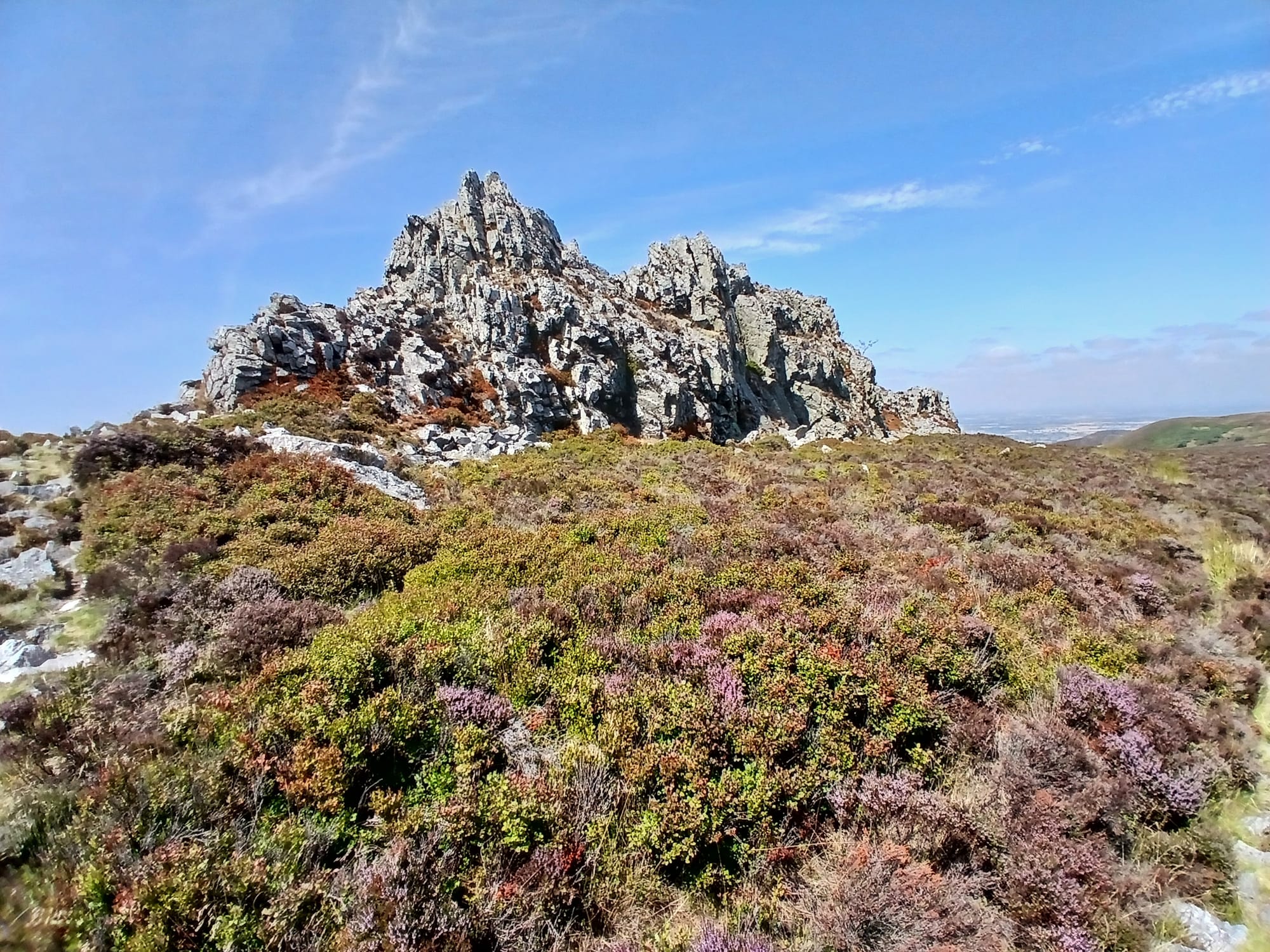
Lots of people were climbing on the biggest Stiperstones outcropping so I took a smaller photo.
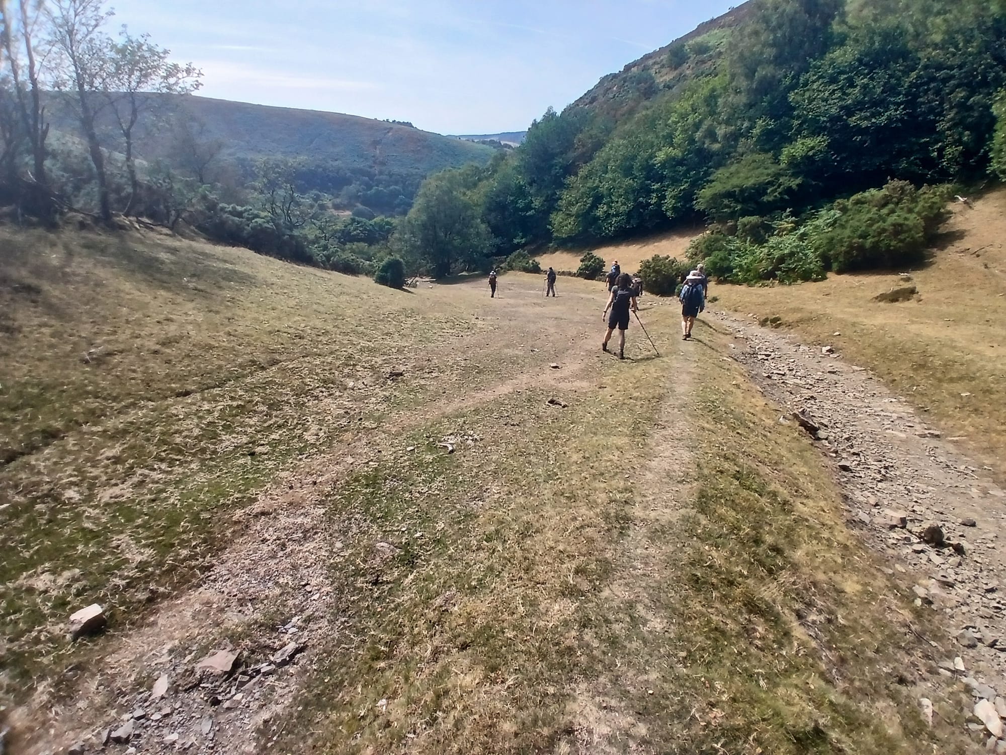
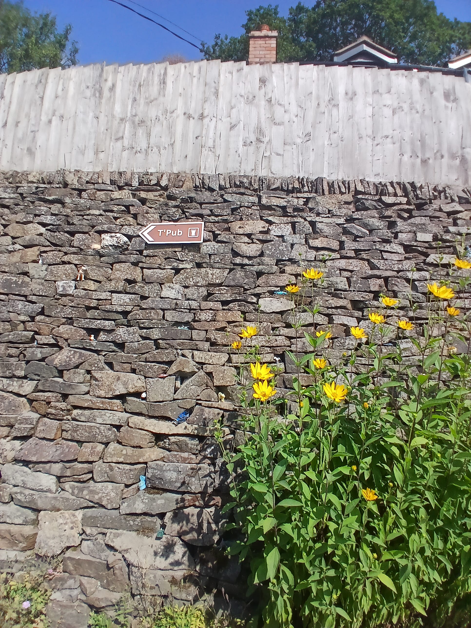
Here we are heading down a valley to reach ...

July 22